The city, with a little context

Go out.Look closer.Know the story.

Take a free walk through Boston Common and the Public Garden, then read the story behind both places.
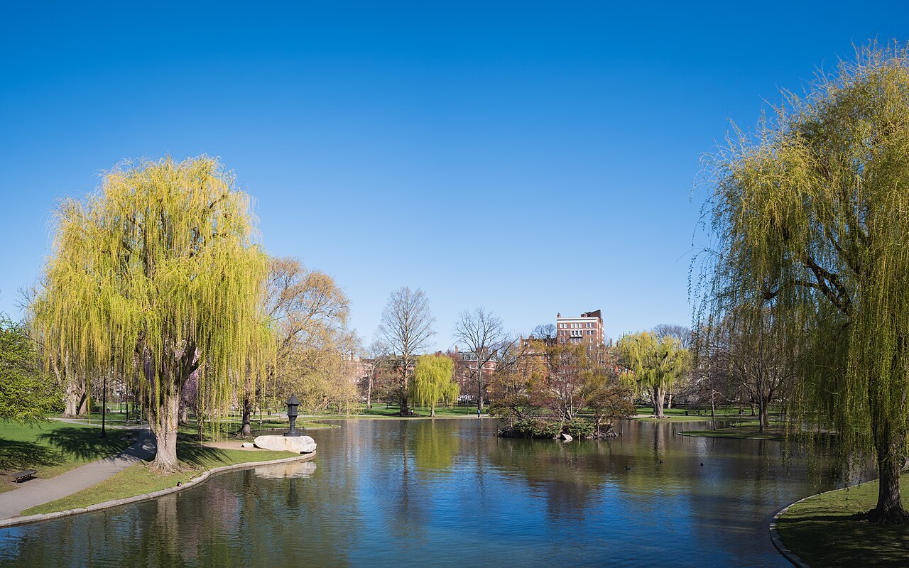
Willow trees reflected in the Boston Public Garden lagoon, with Back Bay buildings beyond
Field note / 01

In Boston, even a quick walk has a reading list.

Public Garden, Boston · Photo: Christian David / Wikimedia Commons · CC BY-SA 4.0 · cropped in layout
Schematic map of Boston Common and the Public Garden Hand-drawn, not-to-scale diagram. Boston Common, labeled 1634, lies east of Charles Street with Frog Pond near its center and the State House across Beacon Street. The Public Garden, labeled 1837, lies west of Charles Street with a lagoon and footbridge. A dashed orange walking route links six numbered stops: 1 the Shaw and 54th Regiment Memorial on Beacon Street, 2 Frog Pond, 3 the Charles Street crossing, 4 the duckling sculptures near Beacon and Charles, 5 the lagoon bridge, 6 the George Washington statue at the Arlington Street gate. BEACON STBOYLSTON ST PARK ST TREMONT ST ARLINGTON ST CHARLES ST STATE HOUSE 1837 PUBLIC GARDEN 1634 BOSTON COMMON FROG POND 123456 N not to scale, drawn by hand for Fun Boston
Original diagram. Not to scale.

Featured story

years apart, one street between them

Boston Common started in 1634 as a town pasture, bought with a tax on every household. The Public Garden, across Charles Street, began with an 1837 petition to grow a botanical garden on land that was barely land at all.

Here's how two very different parks ended up side by side, and how we checked each date.

Read the story Or walk it

Shop

Fun Boston merch

T-shirts and other designs are planned. Nothing is for sale yet.

About the shop →